UN
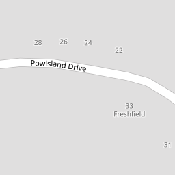
27 Powisland Drive
£ 435,000
Description
We don't have a Description for this property.
- Bedrooms
- 4
- Bathrooms
- 0
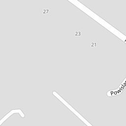
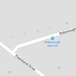

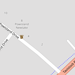

Leaflet © OpenStreetMap contributors
The heatmap indicates the level of crime in the area. The color of the heatmap indicates the crime severity and recency.
Metrics Year-on-Year
- Average area value
- 231,250.00 £Decreased by 12.40 %
- Average area rental value
- 1,650.00 £/moIncreased by 107.29 %
- Est rental Yield
- 8.56 %Increased by 136.46 %
- Crime Rate
- 2.00 %Unchanged by 0.00 %
from 263,993.00 £
from 796.00 £/mo
from 3.62 %
from 2.00 %
Nearby Schools
| Name | Type | Ofsted | Distance |
|---|---|---|---|
| Oakwood Primary Academy | Academy Converter | Good | 0.84 KM |
| Notre Dame Rc School | Academy Converter | Good | 0.92 KM |
| College Of St Mark & St John | Higher Education Institutions | 0.97 KM | |
| Widewell Primary Academy | Academy Converter | Good | 1.18 KM |
| St Matthew'S Church Of England Primary And Nursery Academy | Academy Sponsor Led | Requires improvement | 1.32 KM |
Images
Nearby Streets
| Name | Average Price | Average Sqft | Distance |
|---|---|---|---|
| Hazel Close | £ 0 | 0 | 0.00 KM |
| Notre Dame Close | £ 0 | 0 | 0.00 KM |
| Marjon Hill | £ 0 | 0 | 0.00 KM |
| Hartland Close | £ 0 | 0 | 0.00 KM |
| Charlton Road | £ 0 | 0 | 0.00 KM |
Nearby Transport
| Name | NLC | TLC | Distance |
|---|---|---|---|
| Plymouth | 3580 | PLY | 5.61 KM |
| Devonport | 3579 | DPT | 7.50 KM |
| Keyham | 3571 | KEY | 7.60 KM |
| Bere Ferrers | 3550 | BFE | 7.62 KM |
| Dockyard (Devonport) | 3588 | DOC | 7.70 KM |
Nearby Listings
| Address | Price | Type | Score | Distance |
|---|---|---|---|---|
| Powisland Drive, Derriford, Plymouth. | £ 1,000,000 | BUY | 7 / 10 | 0.00 KM |
| Powisland Drive, Derriford, Plymouth, Devon, PL6 | £ 1,100,000 | BUY | Unknown | 0.00 KM |
| Derriford, Plymouth | £ 900,000 | BUY | 7 / 10 | 0.07 KM |
| Derriford, Plymouth | £ 525,000 | BUY | 6 / 10 | 0.15 KM |
| Airborne Drive, Derriford, Plymouth | £ 375,000 | BUY | 7 / 10 | 0.26 KM |
Nearby Properties
| Address | Price | Distance |
|---|---|---|
| 27 Powisland Drive | £ 435,000 | 0.00 KM |
| 23 Powisland Drive | £ 595,000 | 0.00 KM |
| 21 Powisland Drive | £ 575,000 | 0.00 KM |
| 2 Powisland Drive | £ 370,000 | 0.00 KM |
| 19 Powisland Drive | £ 499,995 | 0.00 KM |